
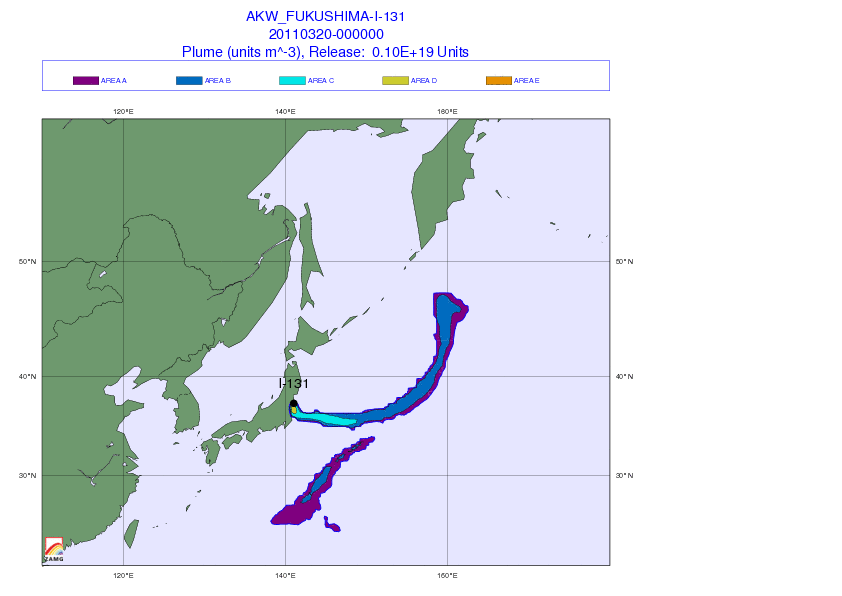
Austria’s weather service, the Central Institute for Meteorology and Geodynamics in Vienna, has posted an update today of its dispersion modelling of radiation from the troubled Fukushima nuclear power. The plume, having been blown West to the ocean yesterday, has turned inwards to the mainland today Sunday, as it will tomorrow and Tuesday, while transport across the ocean is stopping. Rain and snow will wash out radioactivity to the ground.
The centre explains the colour coding used in it’s maps as: "The colour scale shows a total of 5 colours. The area marked “E” shows an area with estimated current equivalent dose rate of 10 mSv/h (in a 25×25 km2 square). The violet colour on the outer edge of contaminated areas (Area A) represents 0,3 μSv/h, which corresponds to the amount of the natural background radiation dose."
Figure 1: Plume as of Sunday and Monday (12:00 UTC)
<IMG SRC=“https://www.zamg.ac.at/pict/aktuell/20110320_fuku_I-131-Bild1_bild2.jpg”
Figure 2: Plume as of Tuesday
<IMG SRC=“https://www.zamg.ac.at/pict/aktuell/20110320_fuku_I-131-Bild3.jpg”
It also provides other fresh data from the Comprehensive Test Ban Treaty Organization (CTBTO) (see the long article I published last week on CTBTO data for more details on its data).
It says radiation levels at the Takasaki station in Japan fell after peaking midweek, due to atmospheric transport condition. Iodine-131 levels at Milli-Bq/m3 at the Petropavlovsk station in Russia on 15/16 March. Unreviewed data suggest similar levels at the CTBT station in Sacramento, California on 17 March. Radiation in both Russia and California was four orders of magnitude lower than in the Takasak station in Japan, it says, adding that “there is no health risk whatsoever.”
Below are animations of the plume’s predicted path:
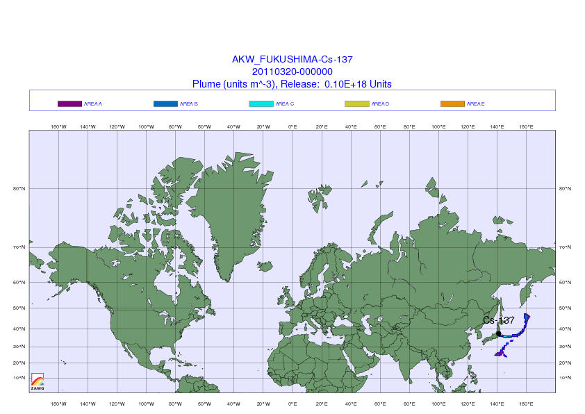
World map
For full coverage of the Fukushima disaster, go to Nature’s news special.
Images: Central Institute for Meteorology and Geodynamics